 |
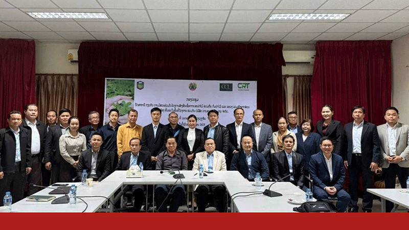
| Participants gather a group photo after the initiative meeting in Vientiane on Januaty 8. |
Laos leverages satellite remote sensing for carbon credit feasibility
Laos is taking a significant step towards sustainable development by employing satellite remote sensing technology to calculate carbon stocks in nine forest areas covering 170,556 hectares.
This initiative, held in Vientiane on January 8, was led by the Ministry of Agriculture and Forestry, and marks a milestone in the country’s bid to establish a carbon credit system, with project certification anticipated by Q3 2025.
 |
| Associate Professor Dr Thoumthone Vengvisouk chairs the event. |
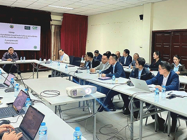
At the Carbon Credit Feasibility Study Session, prominent stakeholders, including key officers of Agriculture and Forestry Department along with Carbon Registry Thailand Co., Ltd. (CRT), led by the Group CEO of Star Century CRT, Mr Alexander Wan, together with the Executive Director of CRT, and Mr Chalatchai Sundara-Vicharana; in collaboration with Carbon Credit Lao Co., Ltd. (CCL), represented by the company’s CEO, Mr Phouseuth Keophouvong, shared insights into using cutting-edge technology to enhance carbon accounting precision.
The session was chaired by the Deputy Director General of the Department of Forestry, Associate Professor Dr Thoumthone Vengvisouk, who highlighted the strategic value of this innovation.
Dr Thoumthone said “This technology strengthens our commitment to sustainable forest management, fostering accurate carbon accounting and local community engagement in conservation efforts.”
The initiative holds promise for significant financial and environmental benefits. By quantifying carbon sequestration, Laos can enter global carbon markets, attracting international investment and generating millions in revenue.
These funds can be channelled into community development, biodiversity conservation, and improved forest management practices.
The feasibility study's results indicate the potential to monetise Laos’ natural resources without compromising ecological balance.
Experts predict that the nine forest areas under study could yield substantial carbon credits, fostering economic resilience while encouraging forest preservation.
In addition to forestry, the session explored extending satellite remote sensing to agriculture, including rubber plantations and orchards. This aligns with Laos’ strategy to diversify its carbon credit portfolio and promote sustainable agricultural practices, boosting rural economies.
Dr Thoumthone noted that these efforts support Laos’ national strategy to achieve carbon neutrality by 2050.
“By integrating advanced technologies across forestry and agriculture, we ensure sustainable resource management and economic opportunities for future generations,” he said.
The Ministry’s focus on international partnerships underscores Laos’ growing role in the global carbon market. CRT’s innovative satellite methodologies have garnered attention for their scalability and effectiveness in diverse ecosystems.
As Laos advances its certification process, collaboration with global institutions and private investors is expected to enhance technological capacity, create green jobs, and reinforce the country’s leadership in sustainable resource management.
Laos’ adoption of satellite remote sensing signals its commitment to leveraging technology for sustainable development.
By combining environmental stewardship with economic opportunities, the country is poised to lead regional carbon credit initiatives, setting an example for others to follow.
By Advertorial Desk
(Latest Update January 13, 2025)
|


